THE MUD FLOWS ARE DUE TO RECENT HEAVY RAINS ON THE ISLAND.
 The National Emergency Management Organization (NEMO) would like to clarify that the WhatsApp images being circulated from the island of Martinique are not pyroclastic flows, but rather, is a rapid flowing volcanic mudslide of rock debris and water known as "lahar" which occurred in the river Prêcheur on Monday, Jan. 8, at about 9 p.m.
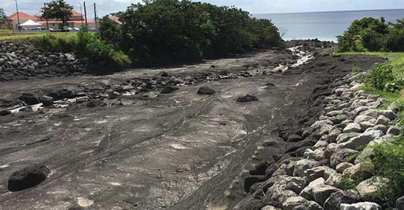
The mud flows are due to recent heavy rains on the island. The river Prêcheur is to the north of the island of Martinique, and located between Mount Pelée and the extinct Mont Conil volcanoes.
The island has experienced occurrences of lahar in previous years; and a more recent occurrence was on June 19, 2010 where twenty houses near the Prêcheur river had been impacted without causing loss of life.
Pyroclastic flows on the other hand are fast-moving currents of hot gas and volcanic matter made up of a high-density mix of hot lava blocks, pumice, ash and volcanic gas. They move at very high speeds down volcanic slopes, typically following valleys.
The State Services (The Volcanic and Seismological Observatory of Martinique) in Martinique have set up an active intelligence unit to monitor the development of the phenomenon.