THE USE OF DATA, TECHNOLOGY AND ITS BENEFITS WILL BE SHOWCASED VIA THE GEOGRAPHIC INFORMATION SYSTEM.
 Saint Lucia’s future is in the hands of geo spatial technology. The Technology comes in the form of a Geographic Information System (GIS). GIS is a computer system used for storing and displaying data related to positions on the earth’s surface. GIS can combine many kinds of data on one map to respond to real world problems.
Private and Public sectors will enjoy sharing this data which will allow for improvements in the country’s planning.
To highlight the system’s potential, a number of these stakeholders will showcase the uses of the data, technology and its benefits.
Members of the public are invited to the GIS and National Spatial Data Infrastructure (NSDI) Exhibition 2022. The Exhibition will be held at Baywalk Mall in Rodney Bay, from Wednesday, November 16 to Friday, November 18, 2022, from 9:00 am to 4:00 pm daily.
Technical Coordinator of Component 2 of the Disaster Vulnerability Reduction Project, Christopher Williams says, the week’s activities will include the exhibition and a symposium of policy makers. He adds, “The first will be a symposium on November 15 and during the symposium we will have several discussions, showcases and demonstrations, to show how GIS is currently being used and how it can be used in the future to enhance decision making in Saint Lucia. From the 16th to 18th, we will be having a public exhibition, 3 days long, where we will be providing further demonstrations, hands on demonstrations to the public, of how geographic data is used in Saint Lucia. We will be inviting several schools on the island to attend and the schools will be treated to hands on demonstrations.”
The need to standardize, use and share the geo spatial data led to the creation of a National Spatial Data Infrastructure (NSDI).
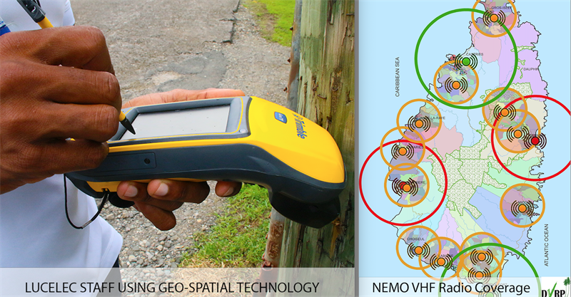
NSDI will function as the mechanism using technology, policies, standards, criteria and human resources required to coordinate and promote data sharing through public and private sectors, academia and Non-Governmental Organisations. Williams asserts, “this becomes even more important for persons like first responders, who would need that sort of information to find the most efficient ways of attending to a particular emergency in any particular location. Its also used for understanding the distribution of risk and hazard, so preparation of hazard maps, landslides, flood maps etc. So knowing before an event and knowing which areas are more prone to particular types of hazards and this allows emergency agencies such as NEMO to stage resources to more efficiently be able to respond when there is an impending event.”
The technology could revolutionise country planning. Effective use of the data has the potential to improve agriculture, housing, preparedness for natural disasters and the provision of government/state services. Data can be used to determine the best locations for private housing, hospitals, fire and police stations.
The system is an initiative of the Disaster Vulnerability Reduction Project (DVRP), a collaboration between the World Bank and the Government of Saint Lucia.